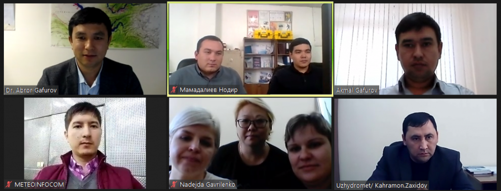
TASHKENT, Uzbekistan - A training on applying a new MODIS data processing software to monitor snow cover took place online at the Center of the Hydrometeorological Service of the Republic of Uzbekistan (Uzhydromet) on October 14-15, 2021. Hydrologists and IT professionals of Uzhydromet participated in the training. 
Accurate snow data are essential for assessing the available water resources in high altitude areas. They are used for planning irrigation and filling reservoirs for power generation.
Owing to the inaccessibility of high mountain areas, meteorological stations provide point data. These data do not have a spatial distribution. However, modern remote sensing technologies can solve the problem of obtaining accurate data and analyzing it.
The MODIS sensor provides instantaneous satellite data. Hydrologists process the obtained data for the modelling and assessment of water resources. The MODSNOW tool processes MODIS data and allows using snow-cover satellite data for modelling or hydrological prediction. This data is three days late.
Abror Gafurov, consultant of the «Climate Adaptation and Mitigation Program for the Aral Sea Basin» under the support of GFZ German Research Centre for Geosciences (Potsdam), developed a method that combines MODIS sensor data with the MODSNOW tool. This approach enables hydrologists to obtain accurate data from remote mountain areas and analyze them automatically. It ensures receiving the objective snow forecasts for Central Asia. Abror Gafurov’s methodology significantly contributes to the better planning of allocation of water resources in all sectors of the region’s economy.